
East Hartford ZIP Coverage
Current label evidence from the USPS preferred-city label list supports four ZIP references in the East Hartford research trail, but it does not publish a safe street-by-street boundary for each one. The coverage table therefore distinguishes verified label use from an area claim. USPS Lookup, not a neighborhood nickname or a map guess, decides the delivery ZIP for a complete address.
| ZIP | Areas covered | Post office or label | Notes |
|---|---|---|---|
| 06108 | East Hartford municipal addresses use this ZIP, but exact streets were not published in the inspected sources | East Hartford Post Office, 850 Main Street, East Hartford, CT 06108-9998 | USPS label evidence pairs 06103 and 06108 with preferred city Hartford |
| 06118 | Current label evidence uses East Hartford, CT 06118; exact street coverage was not located | USPS label row uses East Hartford CT 06118 | Verify each complete address through USPS |
| 06138 | Appears in the label relationship with East Hartford CT 06118; exact delivery role was not located | Use current USPS Lookup | Do not call it PO-box-only or unique without confirmation |
| 06128 | Historical East Hartford label-transition evidence only | 2012 bulletin relationship moved toward 06108 | Not treated as a current East Hartford ZIP |
East Hartford Town Hall, Police, Assessor, and the East Hartford Post Office use 06108 in their published municipal address lines. USPS preferred-city output can still say Hartford. That postal convention does not change the town or parcel custodian.
06108 and the Hartford Preferred City
ZIP 06108 is the clearest local example of a city-label mismatch. East Hartford municipal offices use East Hartford, CT 06108, while the USPS preferred-city list inspected for this research pairs 06103 and 06108 with Hartford as the preferred city. A result that prints Hartford is therefore not enough to relocate the address into Hartford.
The USPS explanation of ZIP Code geography describes ZIPs as delivery operations that need not match municipal boundaries. Use the city field returned for mailing, but preserve East Hartford as the municipality attached to the parcel, town office, or legal description.
Read the USPS ZIP geography capture for the delivery-boundary distinction.
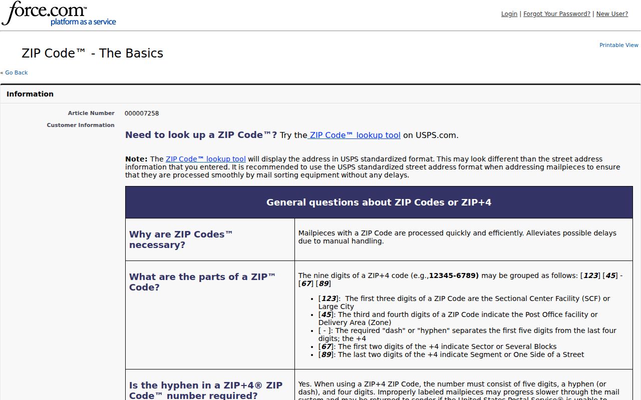
The USPS basics capture gives the right frame for the mismatch. A postal city is a delivery label, not a substitute for the municipal location used by the Assessor, Town Clerk, or court.
East Hartford 06118 and 06138 Checks
The current label evidence treats 06118 as East Hartford, CT 06118 and shows 06138 in a relationship using the East Hartford 06118 preferred label. The public material inspected did not identify exact street ranges, a unique-institution use, a PO-box-only role, or a reliable neighborhood split. Those gaps are part of the answer.
For a resident or parcel search, enter the complete street address in USPS Lookup. If the returned ZIP is 06118 or 06138, save the returned preferred city and the date of the check. Do not assign all of Burnside, Mayberry Village, Martin Park, Hockanum, or another local label to one ZIP without a returned address match.
The same caution applies to a whole-street list. A street can contain separate delivery routes, units, or address points. The East Hartford postal directory should show the returned result for each verified address rather than a guessed street-wide label.
The Historic East Hartford 06128 Bridge
ZIP 06128 belongs in a historical address note, not the current coverage list. A 2012 USPS bulletin records a label transition involving East Hartford and 06128 toward 06108. Later postal bulletins also show container-label operations involving 06118, 06138, and 06108.
Those notices explain why an old letter, directory, or deed may contain a ZIP that no longer behaves like a current search key. They document mailing and sorting operations, not a street-by-street municipal boundary. Pair a historic ZIP with the printed street, town, map, or parcel before searching a current portal.
Note: A historical ZIP relationship can bridge old correspondence, but it cannot establish a present address or current resident.
Run an East Hartford USPS ZIP Lookup
The USPS ZIP Code Lookup is the final street-level check in a ZIP search. It accepts an address route that returns the ZIP and preferred city used for delivery. Use the complete street number, street name, unit when needed, city, and state rather than a neighborhood label alone.
Keep the postal result beside the municipal and parcel fields. A good note records the entered address, returned ZIP, preferred city, lookup date, and any difference between the USPS result and the East Hartford Assessor or GIS record.
- Enter the full East Hartford street address in the official USPS form.
- Save the returned ZIP and preferred-city label exactly as displayed.
- Compare the result with the situs address and mailing ZIP in the parcel layer.
- Use the ZIP only in portals that document a ZIP field, and keep the search category with the result.
- After the ZIP narrows the work, move to a street-level record chain rather than claiming a ZIP-wide list.
Use the USPS address-to-ZIP capture as the final street-level check.
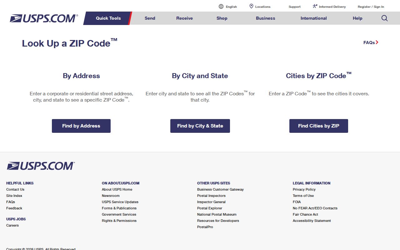
The USPS form capture shows the right kind of source for a delivery check. It does not replace the Assessor’s situs field or the Town Clerk’s legal description.
East Hartford ZIP-Capable Portals
ZIP-capable searching is narrower than ZIP data storage. The Assessor UI has no visible ZIP-search mode. GIS attributes carry site and mailing ZIP fields, but the map search does not create a ZIP-wide result set. Civil Inquiry’s property-address form accepts a five-digit ZIP alongside a city or town and case filters. The voter application and file contain ZIP data, but the public lookup fields were not exposed.
| Portal or source | ZIP role | What the result means | Gap or limit |
|---|---|---|---|
| USPS Lookup | Complete address to delivery ZIP | Current postal result and preferred city | Does not show a resident list |
| Assessor | ZIP stored in parcel or mailing fields | Card and parcel context | No visible ZIP-search mode |
| GIS REST layer | Site and mailing ZIP attributes | Address, owner, parcel, legal, and ZIP fields | Current layer; no historical retention stated |
| Civil Inquiry property search | Exact five-digit ZIP plus town and case filters | Property-related court cases only | Not a general ZIP resident search |
| Voter file | Address and ZIP in statutory record structure | Restricted file route for eligible requests | Public lookup schema not captured |
The East Hartford parcel REST layer is useful when a ZIP is already known and a researcher needs to filter returned attributes. It is not evidence that every person in a ZIP has a parcel record.
Inspect the East Hartford parcel REST capture for ZIP and mailing fields stored with a parcel.
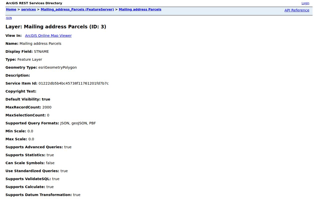
The REST capture illustrates a field-level ZIP workflow. Use a returned address, parcel ID, or owner field as the next join, not as a ZIP-wide occupancy claim.
East Hartford Civil ZIP Search
Civil Inquiry is the strongest inspected local example of a ZIP-capable public case search. Its Property Address screen requires a case type with the search, asks for a city or town of at least three characters, accepts an optional partial street address, and accepts an exact five-digit ZIP. Property Type choices include Residential, Commercial, and All. Case Status choices include Active, Disposed, and All.
| Case Type | Required with the property search; categories are limited to property-related court matters. |
|---|---|
| City/Town | Required; the inspected rule calls for at least three characters and allows partial matching. |
| Street Address | Optional partial address field. |
| Zip Code | Optional exact five-digit value. |
| Property Type | Residential, Commercial, or All. |
| Case Status | Active, Disposed, or All. |
Review the Civil Inquiry property-address capture for the exact ZIP field and case filters.
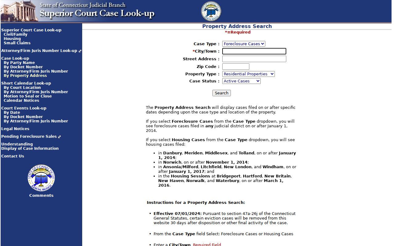
The property-search capture makes the scope clear. A ZIP narrows property-related case categories; it does not create a list of every resident, owner, or mailing recipient in that ZIP.
East Hartford ZIP Code and ZCTA Differences
The Census Bureau’s ZCTA is a generalized statistical area built from address points and census blocks. It is designed for statistical geography, not for real-time delivery. Not every valid USPS ZIP has a matching ZCTA, and the two shapes need not agree with a town boundary.
The Census ZCTA guidance should be the source when a population table or map uses a ZCTA. Keep that geography separate from a USPS ZIP, the East Hartford town line, a Hartford preferred-city label, and an Assessor mailing ZIP.
Compare the Census ZCTA guidance capture before using a statistical ZIP geography.
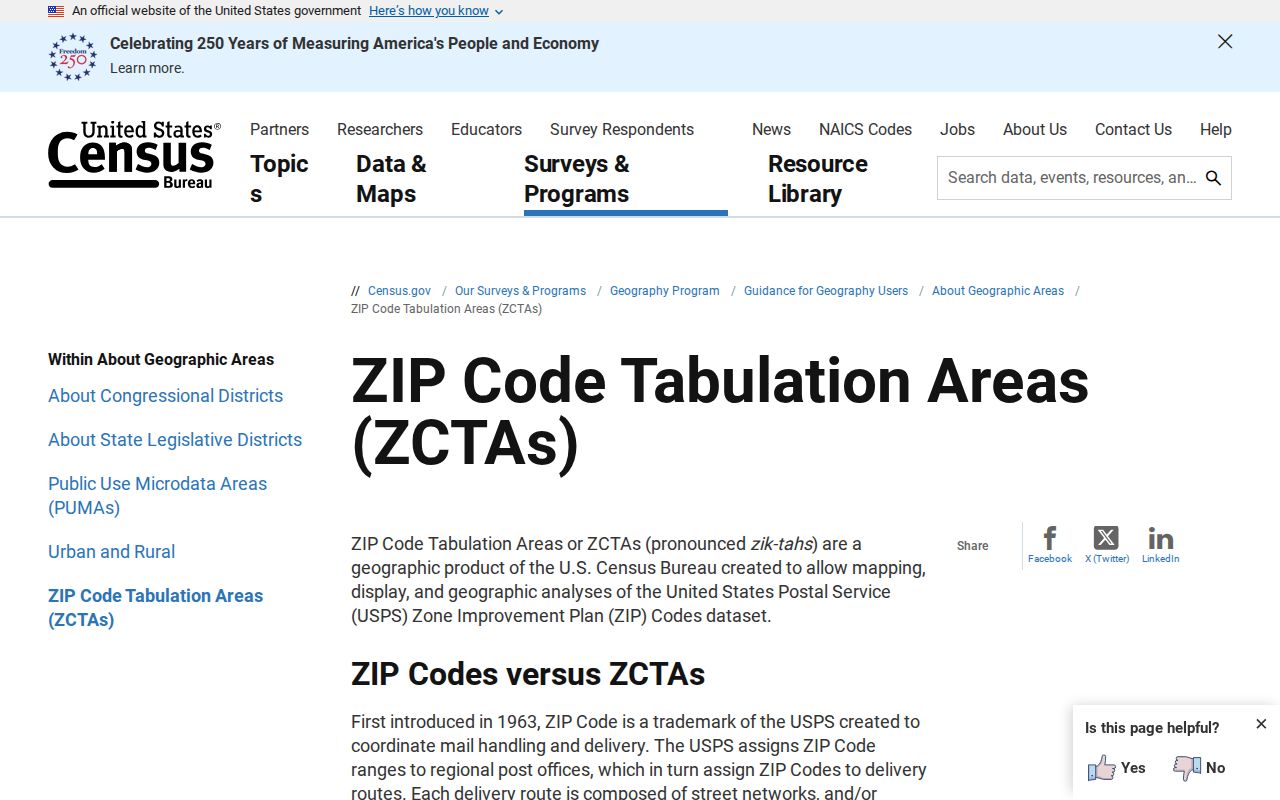
The ZCTA capture is a reminder that a statistical area can support a count without being a delivery boundary. A ZIP code directory should name the unit before comparing records or numbers.
- ZIP Code
- A USPS delivery and sorting code returned for an address.
- ZIP+4
- A nine-digit delivery extension that narrows a route beyond the five-digit ZIP.
- PO-box ZIP
- A ZIP used for post-office boxes or a delivery function; do not assign this role without USPS confirmation.
- Unique ZIP
- A ZIP assigned to a single organization or delivery point, if USPS identifies it that way.
- Carrier route
- A delivery path inside a postal operation, not a municipal neighborhood boundary.
East Hartford Revaluation and ZIP Maps
The 2026 East Hartford revaluation notice gives an assessment starting order that includes Burnham Street, Town Center, Dwyer Park, Burnside, Mayberry Village, Martin Park, Connecticut Boulevard and East River Drive, East Hartford South, Town Center South, Veterans Park, Forest Village, Forbes Village, East Hartford Gardens, and Hockanum.
That sequence is useful neighborhood vocabulary for a parcel search, but it is an Assessor work schedule. It does not give ZIP boundaries, population by ZIP, voter totals, or a complete resident count. Pair the local label with the exact situs address, parcel ID, and USPS result.
Note: A revaluation neighborhood label can date a property workflow, but it cannot determine the ZIP returned for a particular delivery address.
Four East Hartford Address Fields
ZIP research often fails because one address label is silently substituted for another. East Hartford parcel and court work becomes clearer when the four key forms stay side by side.
- Situs
- Assessor or GIS field for the physical parcel location. Do not infer every person who uses the site.
- Mailing
- GIS or tax field for where record correspondence is sent. Do not infer that the owner lives there.
- Legal
- Deed, map, or parcel wording for a recorded land description, lot, subdivision, or book/page. Do not infer a postal route.
- Delivery
- USPS field for the ZIP and preferred city used for mail. Do not infer municipal or judicial jurisdiction.
When a 06108 postal result says Hartford, keep East Hartford as the municipal location if the parcel, Town office, or legal record says East Hartford. When a mailing address differs from a situs, save both. When Civil Inquiry returns a ZIP match, keep the case type and property filter with it.
East Hartford ZIP Code Directory Limits
A ZIP code directory can organize postal results and ZIP-bearing fields. It cannot show every resident, define an entire neighborhood, replace a parcel map, or prove that a person lives at an address. The public material inspected does not provide reliable resident totals by 06108, 06118, or 06138, and it does not establish a present street boundary for 06128.
Mismatch check. Postal city, municipal town, situs address, mailing address, legal description, and ZIP can disagree without any one source being wrong. Verify the complete address with USPS, then use the custodian that fits the record question.
For a street-level search after a ZIP check, move to the East Hartford by-street record workflow. For a person-level question, use the relevant name, court, vital, voter, or license custodian. A ZIP is a useful first cut, not a final identity.